Locating Christian Hagenbuch’s House and Distillery
In 2016, I stumbled upon the plans for Christian Hagenbuch’s (b. 1747, d. 1812) house within the Joseph Downs Collection at the Winterthur Library. The plans were drafted in 1783, and I suspected that the home had been built on a 149 acre parcel that Christian received from his father, Andreas Hagenbuch (b. 1715, d. 1785). The land’s deed, dated July 26, 1782, noted that the tract was located in Allen Township, Northampton County, Pennsylvania.
The plans also included a drawing of the colonial stone house. With this in hand, my father and I went in search of the dwelling. In the fall of 2017, we drove around Allen Township looking for it. We focused our hunt near the church where Christian is buried—Zion Stone Church in Kreidersville, PA. Unfortunately, we came up empty handed.
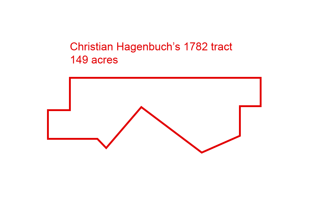
Yet, we were undeterred. Upon returning home, I pulled up Christian’s deed for the 149 acres and used the survey description to draw an outline of the parcel. Now, we could see the shape of the piece of land we were looking for.
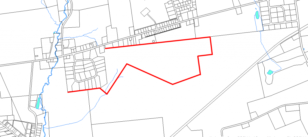
Using the above drawing, I pulled up a current parcel map for Northampton County, PA. My hope was that the unique shape of the lot could still be recognized on this. Sure enough, I was not disappointed. A portion on of the oddly shaped tract was visible on the map. This is shown below and highlighted in red.
Examining the 2018 parcel map more closely, I realized two things. First, Christian’s property was located in East Allen Township, which had been carved out of Allen Township in 1842. Second, my father and I had come quite close to finding it during our fall trip. Christian’s land was located only a few hundred feet from Horner’s Cemetery, which we had driven by previously.
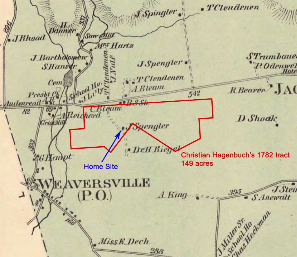
With the site of Christian Hagenbuch’s land located, it was time to determine where the house once stood. The oldest known landholder map of the area is from 1860. However, the scale and proportions on this map were somewhat skewed. An improved map of East Allen Township landholders was published in 1874. By placing the outline of Christian’s 149 acres on the 1874 map, the location of any homes inside the tract boundaries were visible. Indeed, one was found, as is shown below.
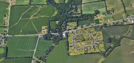
For the first time, we were able to pin point approximately where Christian Hagenbuch’s house may have been built in 1783. Unfortunately, an inspection of current satellite imagery revealed that no house was standing on the site today. However, it did show that a barn existed nearby, as well as a copse of trees. Perhaps there were remnants of the house too?
My father and I contacted the owner of the lot in early 2018 to see if we could visit. We soon heard back from the owner’s sister, Peggy Moser. Peggy is knowledgeable of the area’s history and graciously offered to show us around the property. She also confirmed, after speaking with her parents who are in their 90s, that old stone walls and foundations once stood at the site in question. These were removed in the mid-20th century as they were unstable and dangerous.
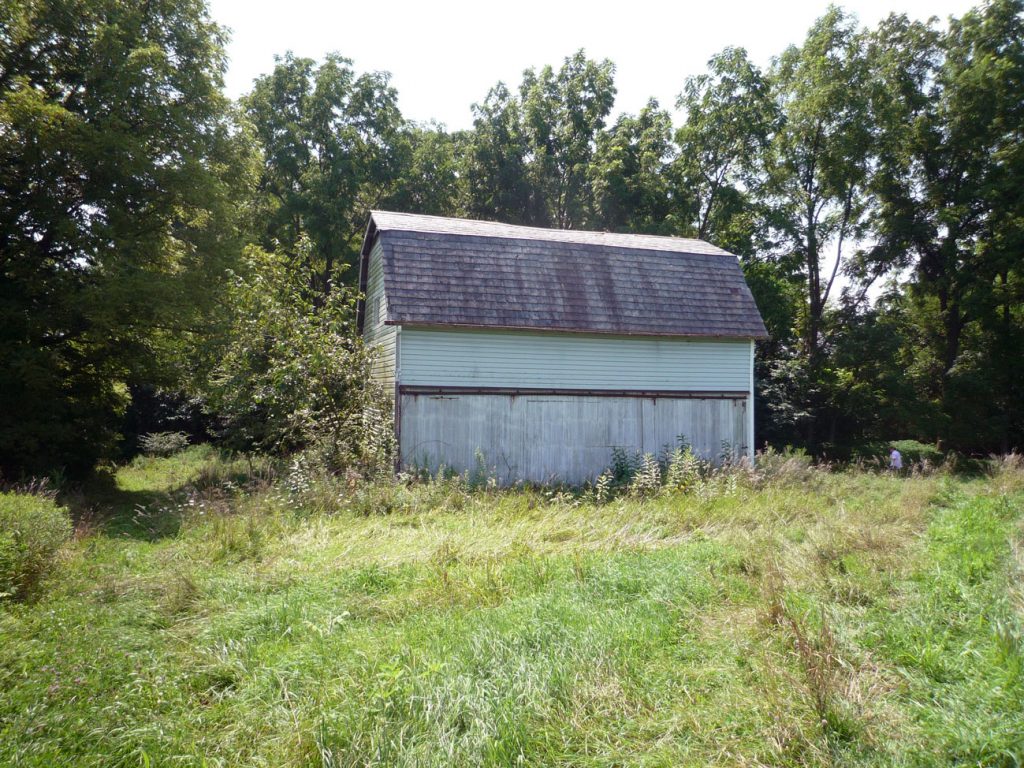
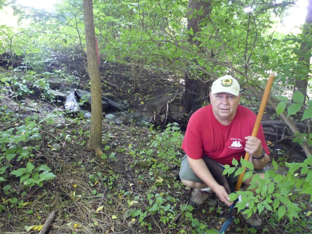
In August of 2018, my father and I drove to East Allen Township and met Peggy at her brother’s property. She took us out to the barn and trees in the middle of a field. The barn, while interesting, was not original and may have been built in the early 1900s. We began to cut our way through the brush and made our way into the woods.
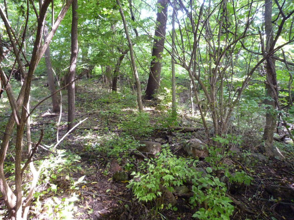
Among the trees, we immediately noticed oddly shaped rocks and a few clearings. Upon closer inspection, some of the stones appeared to have been cut, supporting the idea that a stone building once stood in the vicinity. We also noticed an overground roadbed, which corresponds to the dotted line through the property on the 1874 map. Peggy confirmed that the road had led to another farm just beyond her brother’s property and had been torn down some time ago.
Turning our attention back to the woods, we heard running water and found a small creek feeding a swampy area in the middle of the woods. Peggy confirmed that the wetlands had once been a pond. This was drained and leveled in the 20th century.
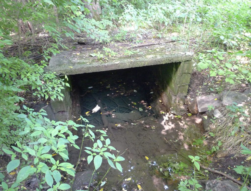
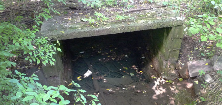
Tracing the stream to its source at the edge of the woods, we made an exciting discovery—a natural spring. Though this had a modern covering over it, older stone foundations were visible. We would go on to discover a second spring in another area of the woods. This one was gushing with an even stronger flow of fresh water.
A natural spring would have been an invaluable resource to Christian Hagenbuch. Not only did this provide for his family, but it also watered livestock and irrigated crops. In addition, a reliable flow of fresh water was required for distilling. From the 1789 tax records, we know that Christian ran a distillery and this may have included multiple stills.
Christian Hagenbuch’s home and distillery were eventually taken over by his sons Andrew (b. 1782) and Joseph (b. 1795). The brothers appear to have had quite the operation, as the 1820 Census shows numerous adult men living on the property. Nevertheless, the distillery went bankrupt in 1823 and the entire property was sold out of the Hagenbuch family in 1823.
Though we did not definitively locate the former site of Christian’s house and distillery, my father and I do believe there is enough circumstantial evidence to show that these structures were located near the copse of trees and its natural springs. Old maps and land surveys further support our theory. In the future, we plan to return to the property and look for additional artifacts or signs of the Hagenbuchs who once called this place home.

